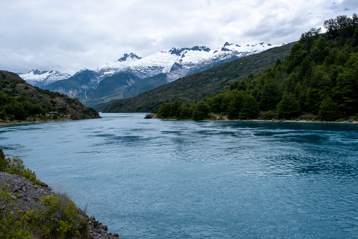
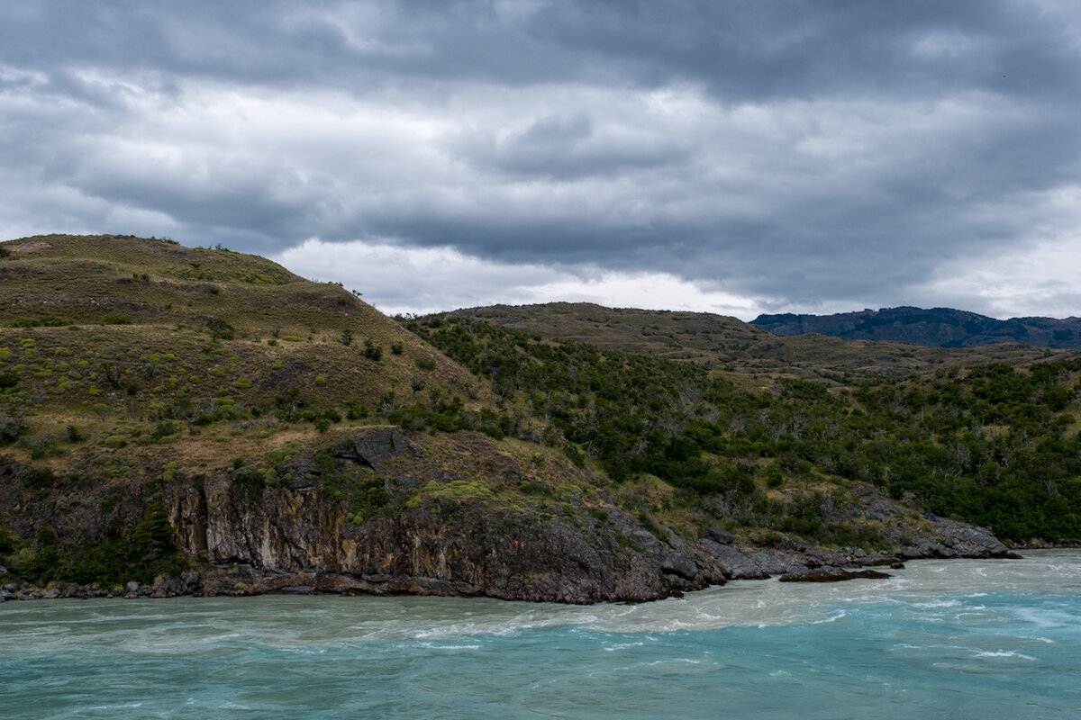
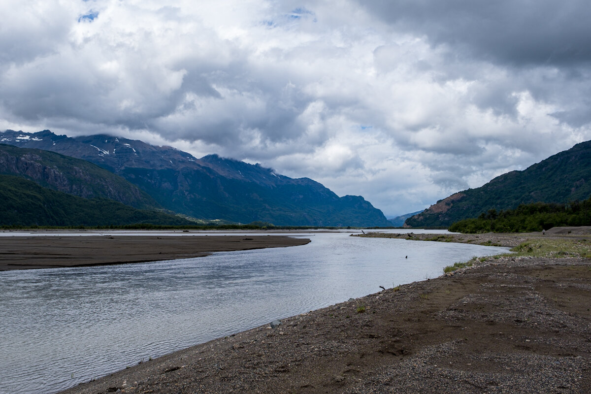
Ruta 7, the Carratera Austral (Southern Way), runs from Puerto Monnt to Villa O'Higgins. 1240 odd km in all. It links all the major settlements in the northern half of Chilean Patagonia and at least a dozen National Parks, all of which are unique and have no ready equivalent anywhere else in the world. Together with the roads that branch off either side, its possible to access and drive through some of the most beautiful and remote scenery anywhere on earth.
The Carratera is sometimes called 'The Dictators Highway' because Pinochet did his best to turn it onto a vanity project. In fairness, he did hurry things along a bit and 'inaugurated' the road, but some work had already been undertaken by previous administrations and continued under subsequent ones, finally completing the continuous route (at least in gravel and rubble form) in 2003. I will refer to it as the CA from here on. Apart from being great for (determined) leisure travellers, the CA provides vital road links for countless settlements in the region which, until quite recently, could only be reached by sea, on horseback or from Argentina.
And therein lies another compelling aspect of Chilean Patagonia: the remoteness and inaccessibility means that settler communities have developed distinct characters of their own. What is more municipal services such as healthcare and police have only reached some of these places in the last 20 or 30 years, so that within living memory disputes were sometimes settled by the gun and serious wounds had to be stitched by a spouse or friend with no anesthetic.
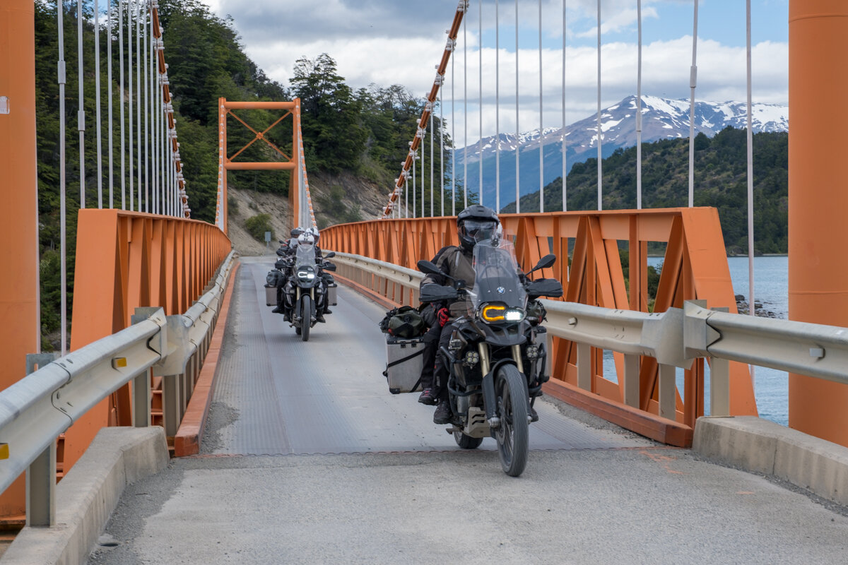
Some stories to come in later posts, but in our present context, it's important to understand that the poor condition of the CA and the general difficulty of getting there in the first place make it a legend among adventure travellers and particularly motorcyclists, long distance cyclists, Overlanders, and camper van owners and renters. And millionaire conservationists, of which more later. We were going to be in illustrious company.
Getting Ready
Travelling up and down the CA without your own transport is very difficult. Bus services will get you to some (though not all) major towns but the really interesting places are in between or 10s of km up connecting roads. You can hitch, but that's hit and miss and very time consuming. The only viable option for us was vehicle hire, but even that would not be straightforward because the geography makes it uneconomic for hire companies to allow you to pick up at one location and drop the vehicle off at another. This is why we ended up starting in Coyhaique - the half way point. The plan being to go south and back, then north and back, then fly out of the region from where we started.
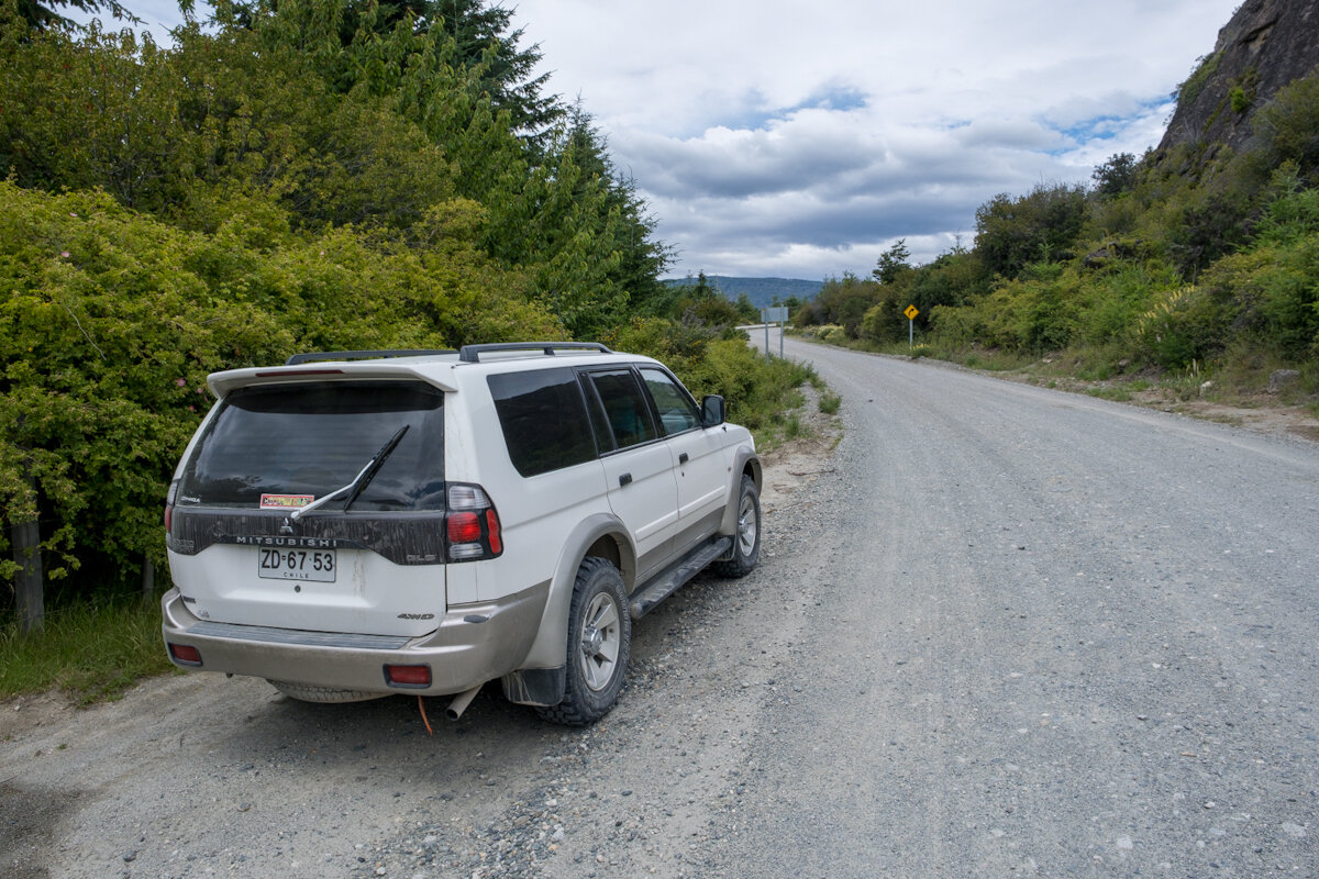
So with all this in mind, we spent the best part of a day walking between rental offices to see what was available and at what price. After several hours the best we could come up with for a reasonable price was a high clearance, small 'fusion' vehicle like a Fiat Panda. To add to the frustration, the big name rental places were booked up weeks ahead. We were on the virge of taking the Panda when, right at the end of the day, we spotted a scruffy yard with a shack in the middle of it and a rental sign above the gate. Not untypically for this trip, we ended up doing an important deal with the 'local guy' based on negotiations in approximately one third English, one third Spanish, and one third sign language and belly laughter. We got ourselves a big, 15yo Mitsubishi 4x4 for the price of a Fiat Panda.
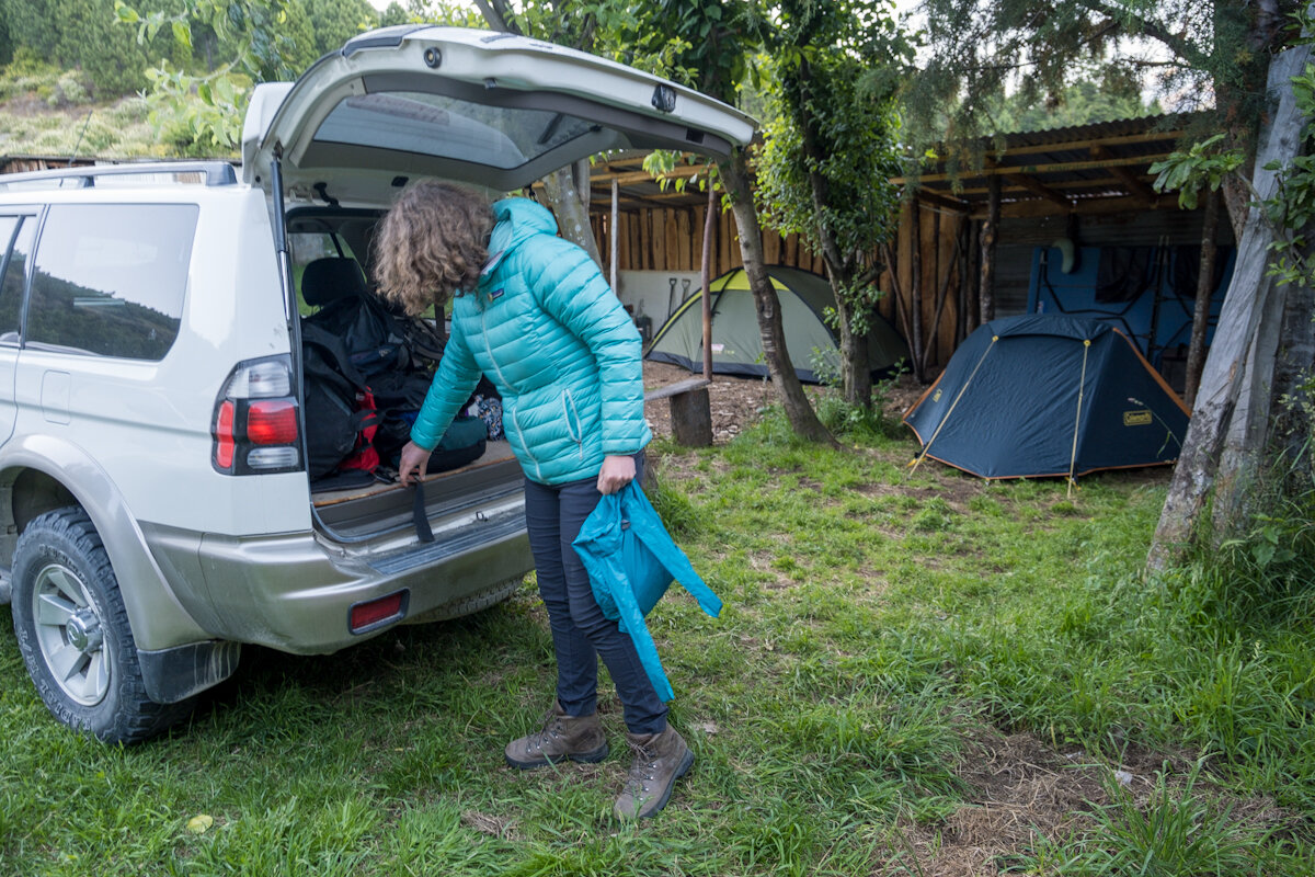
I should be clear: a 4x4 isn't a necessity. At present about a third of the CA is paved. The rest is gravel and loose rubble and although it's doable in a high clearance 4x2, if you want the freedom to go off down muddy side roads, a big 4x4 gives a bit of extra confidence. Besides, it was big enough to sleep in if need be. Decision made.
And on the subject of sleeping we went round a few camping shops the next day and picked up just enough gear to make ourselves self sufficient and able to rough camp anywhere we liked. Sorted.
Setting Out
So on the 3rd of Jan we set out on our first leg: Coyhaique to Puerto Rio Tranquilo. A few miles south, we picked up some hitchers who turned out to be Argentine students. We ended up giving lifts to people at every opportunity. The vast majority were young South Americans who couldn't easily afford conventional holidays, or just local folks going to the next town. Excellent for mutual language practice and generally finding out about each others different experiences of life. Or just the 'feelgood' if language or dialects were less penatrable.
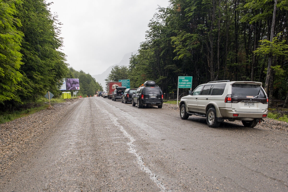
The drive to Tranquilo should have taken 4 or 5 hours but a few hours in we stopped at a road block and were told the road would be closed until 5pm - they were dynamiting around the next bend. It was now just after 1! So everyone made the best of it, going for walks and checking out the scenery. It's just the way it goes.
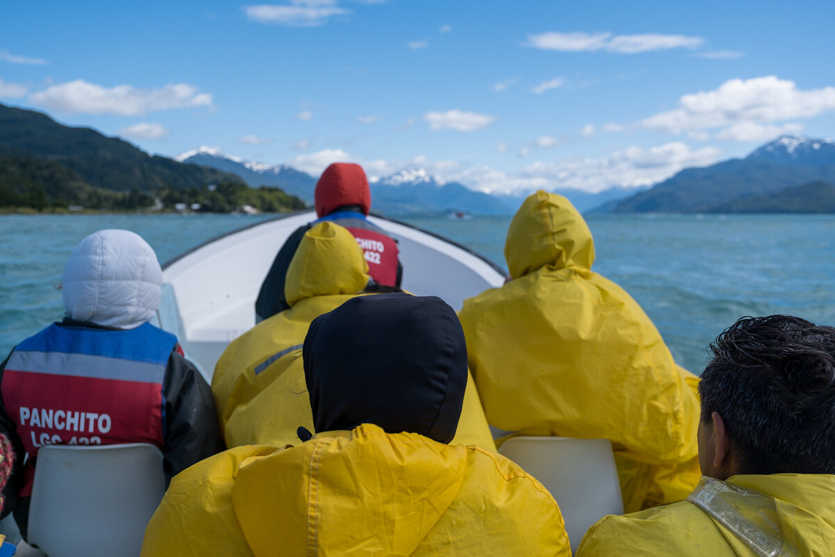
We got to Tranquilo early evening and immediately booked ourselves a boat tour to the Marmol Caves for the next day. The political upheavals had made for a very slow tourist season and the moment we pulled into the waterfront car park we were greeted by an enthusiastic boat operator who quickly won our business.
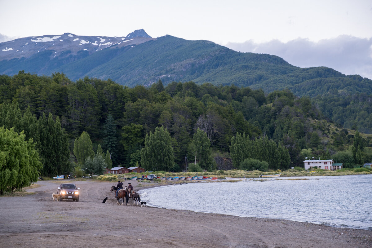
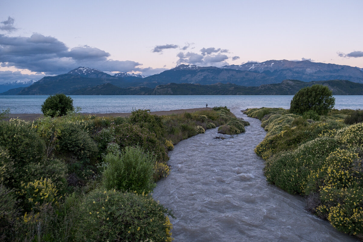
We found a campsite towards the back of town, got set up, then went for a walk along the beach.
The Marmol Caves
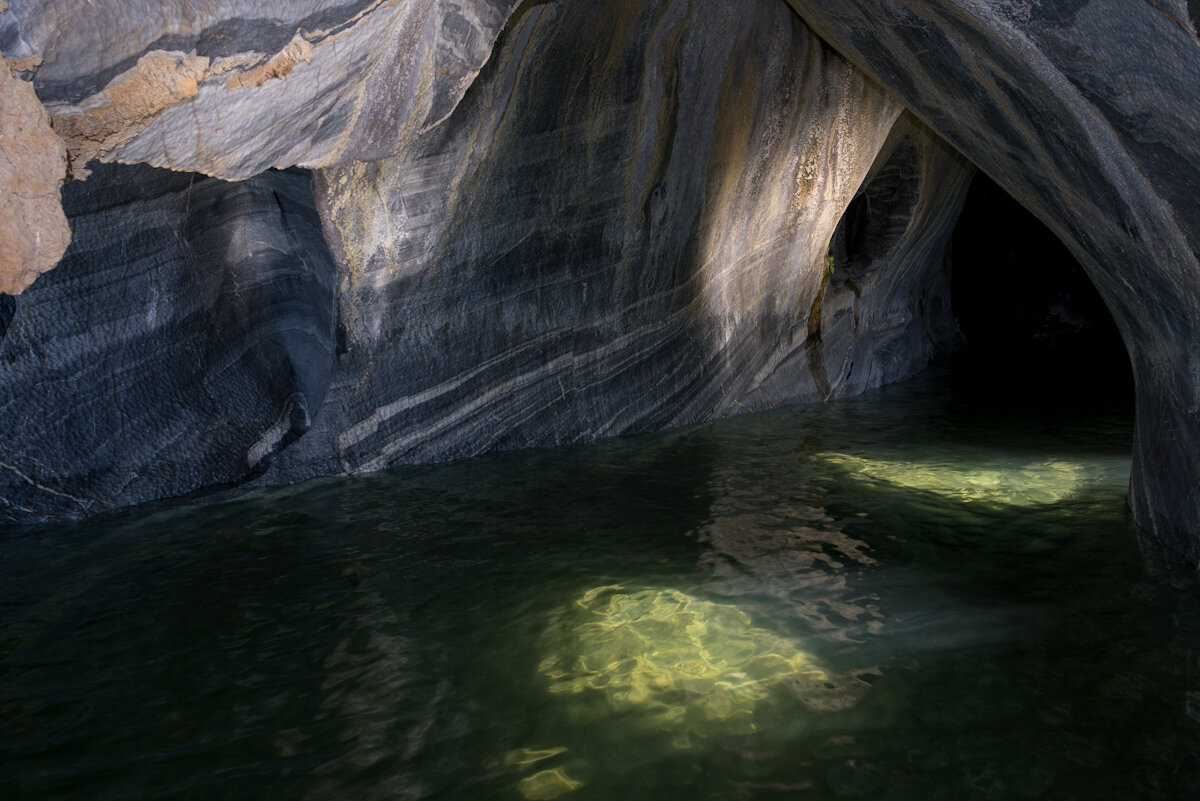
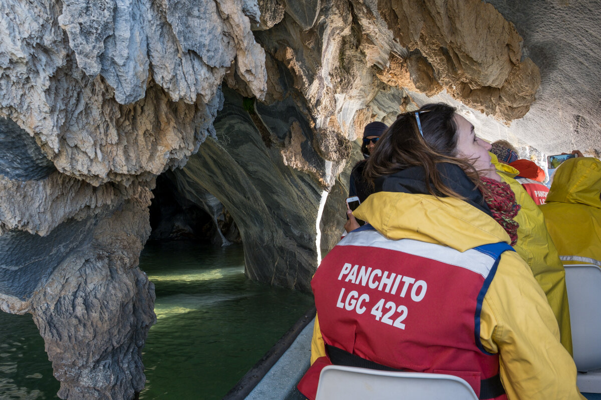
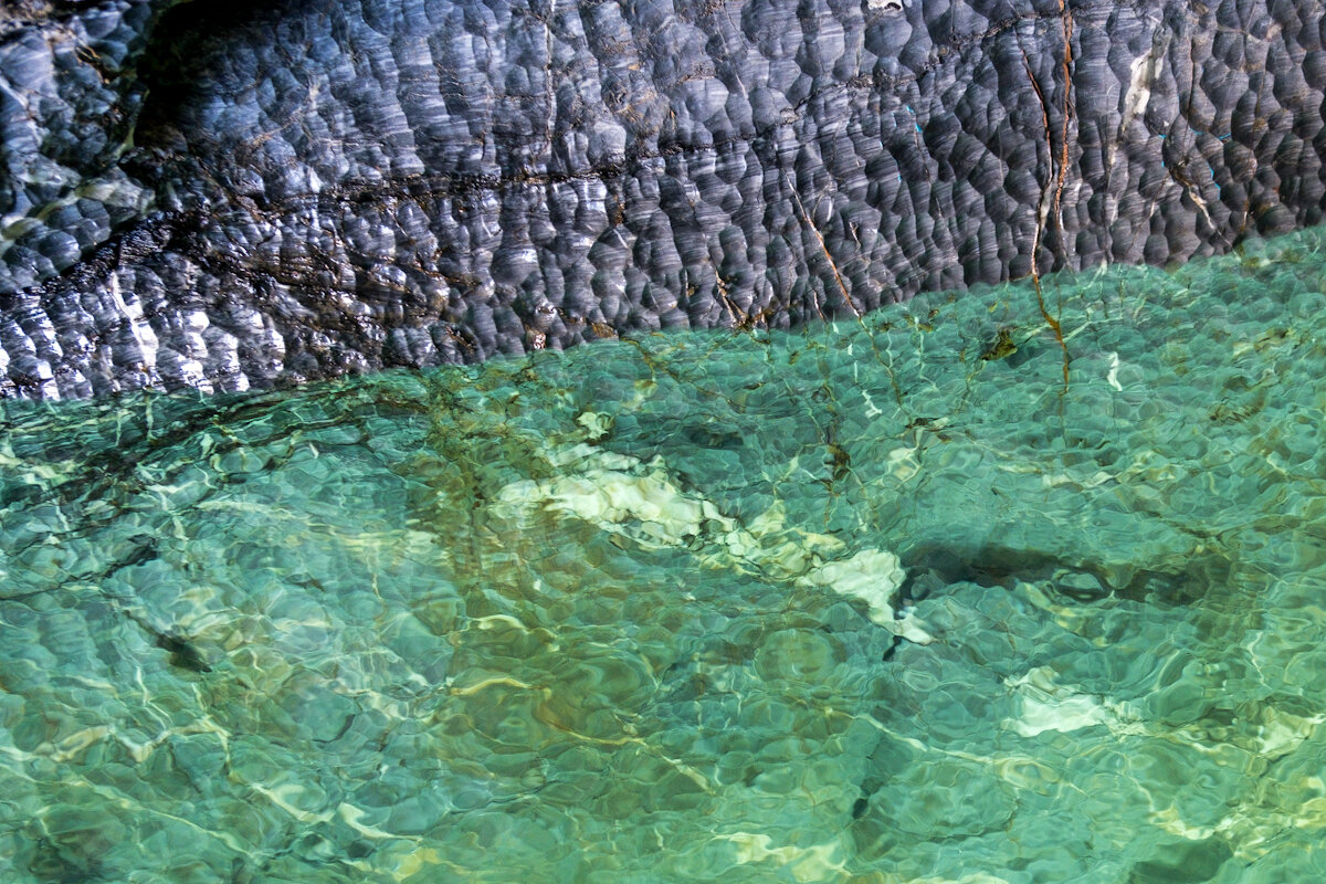
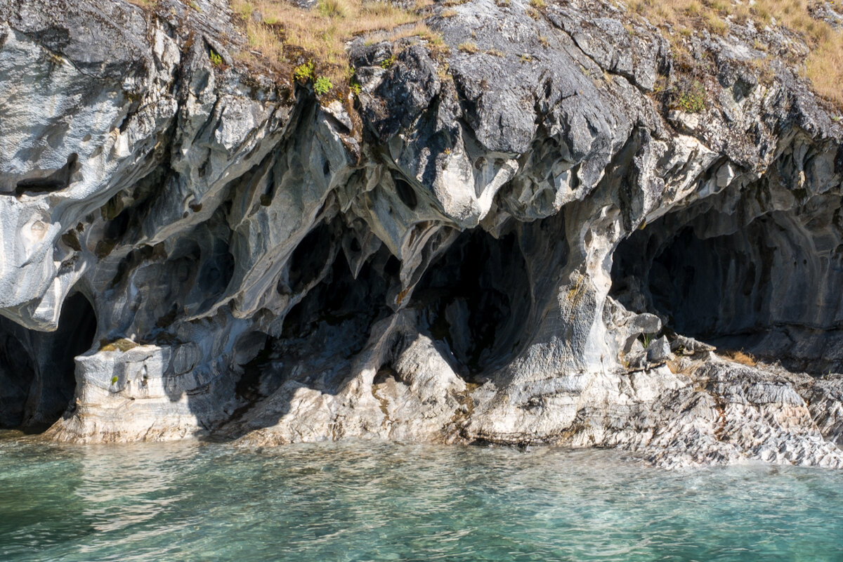
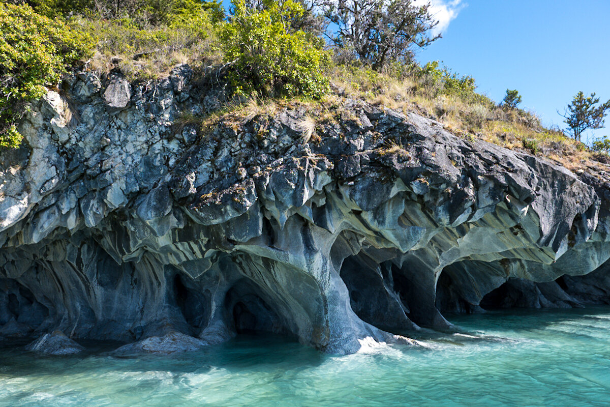
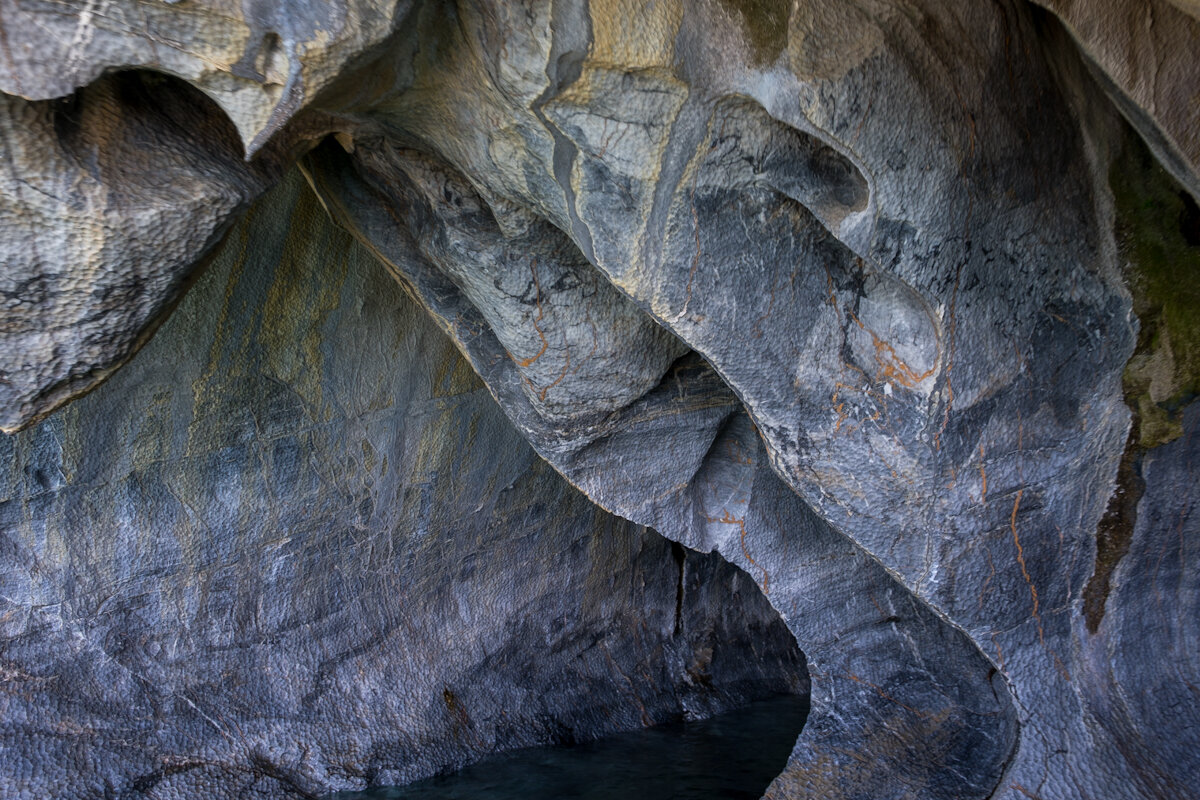
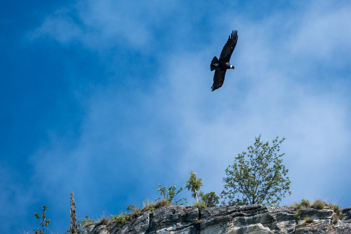
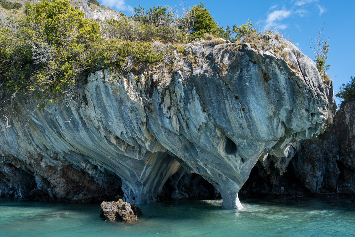
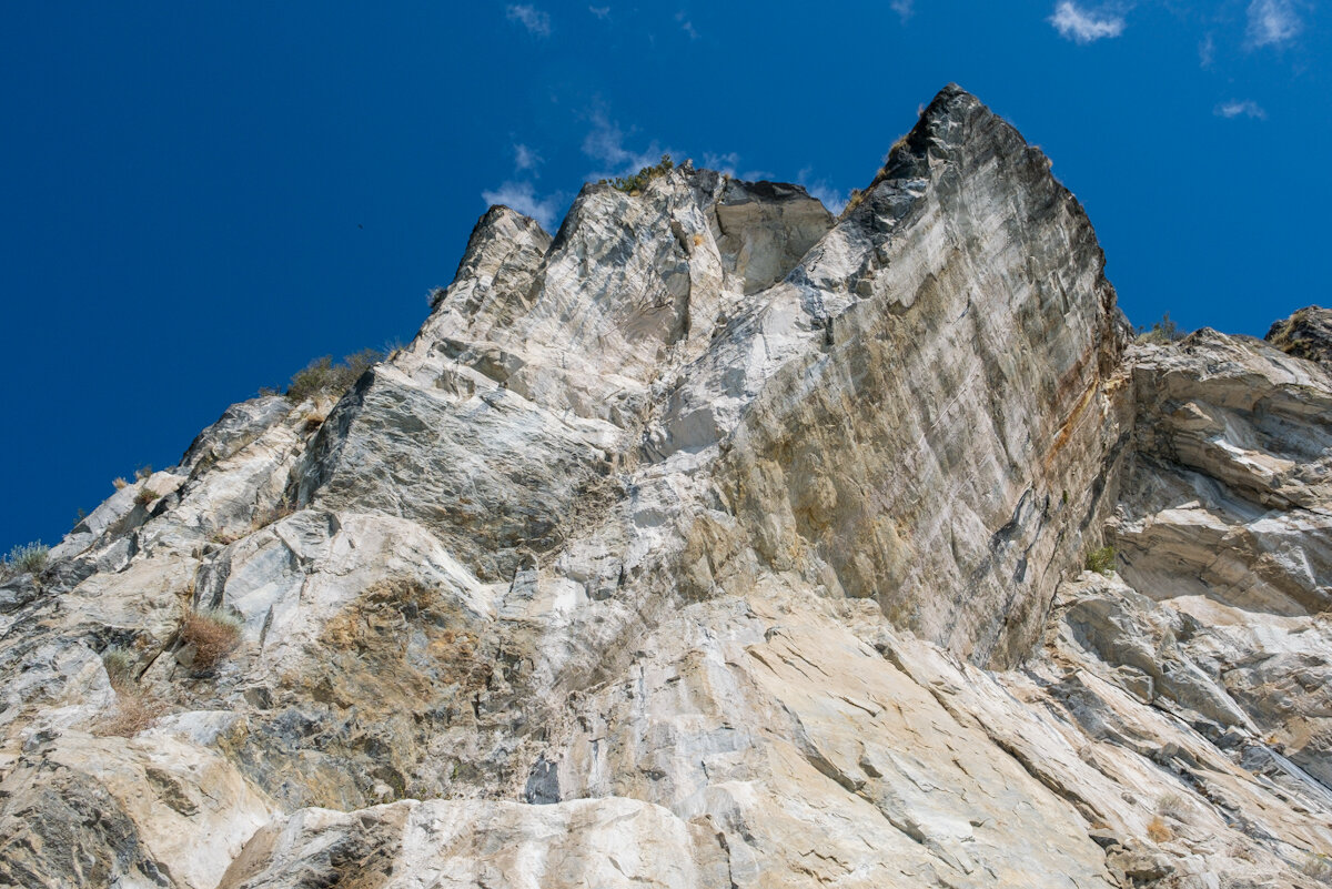
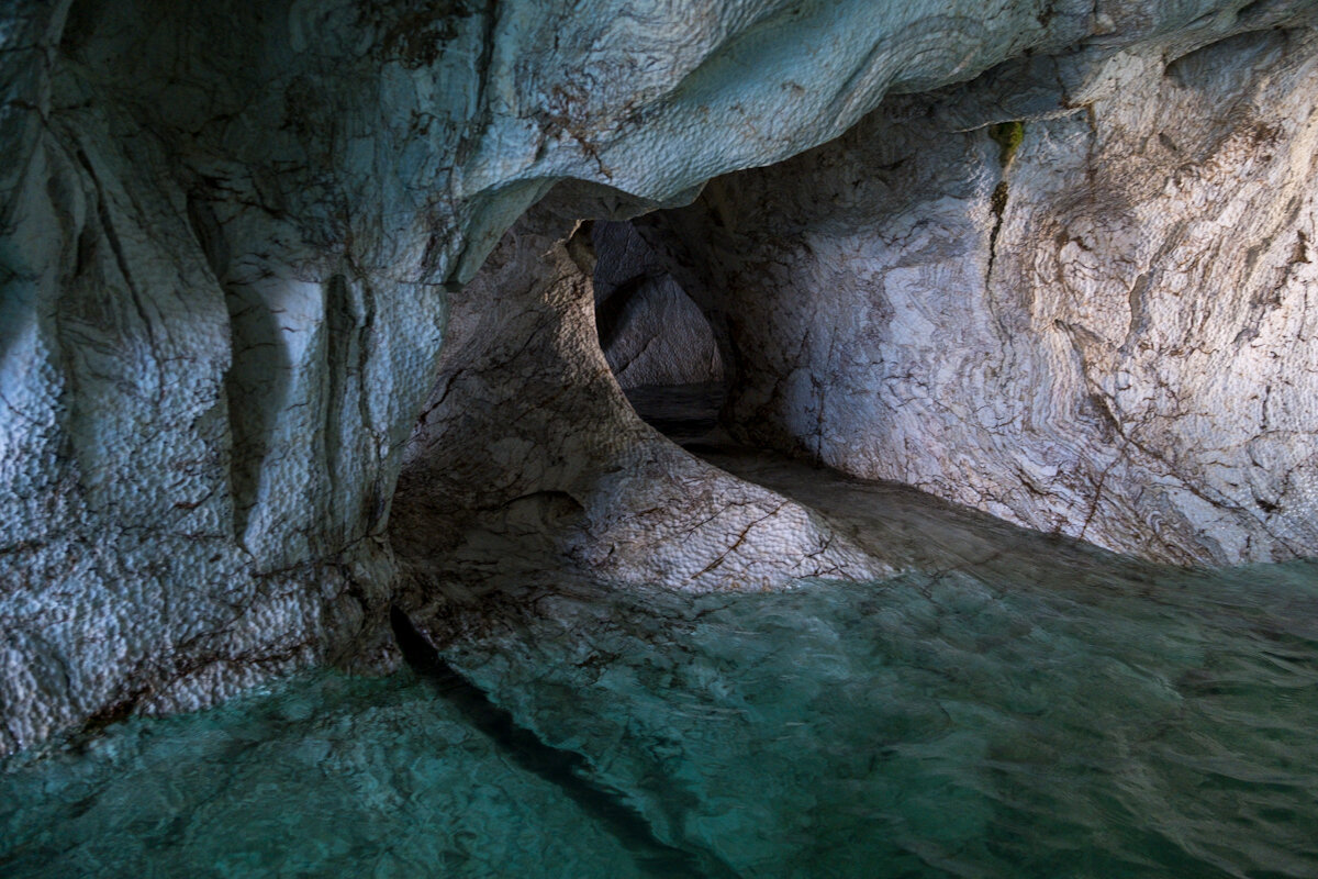
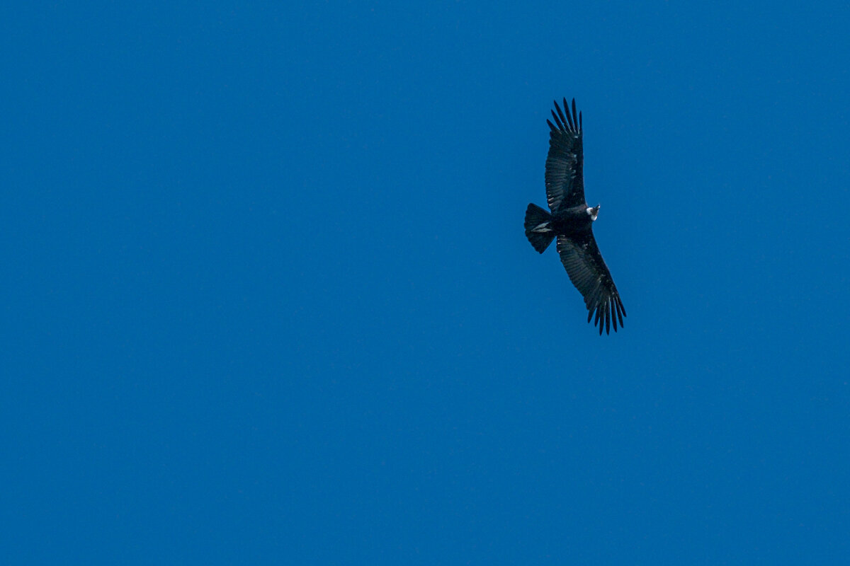
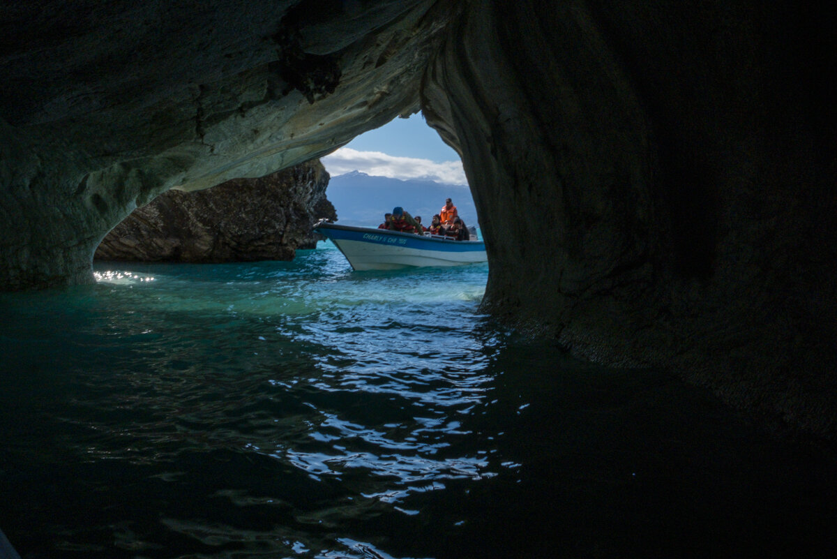
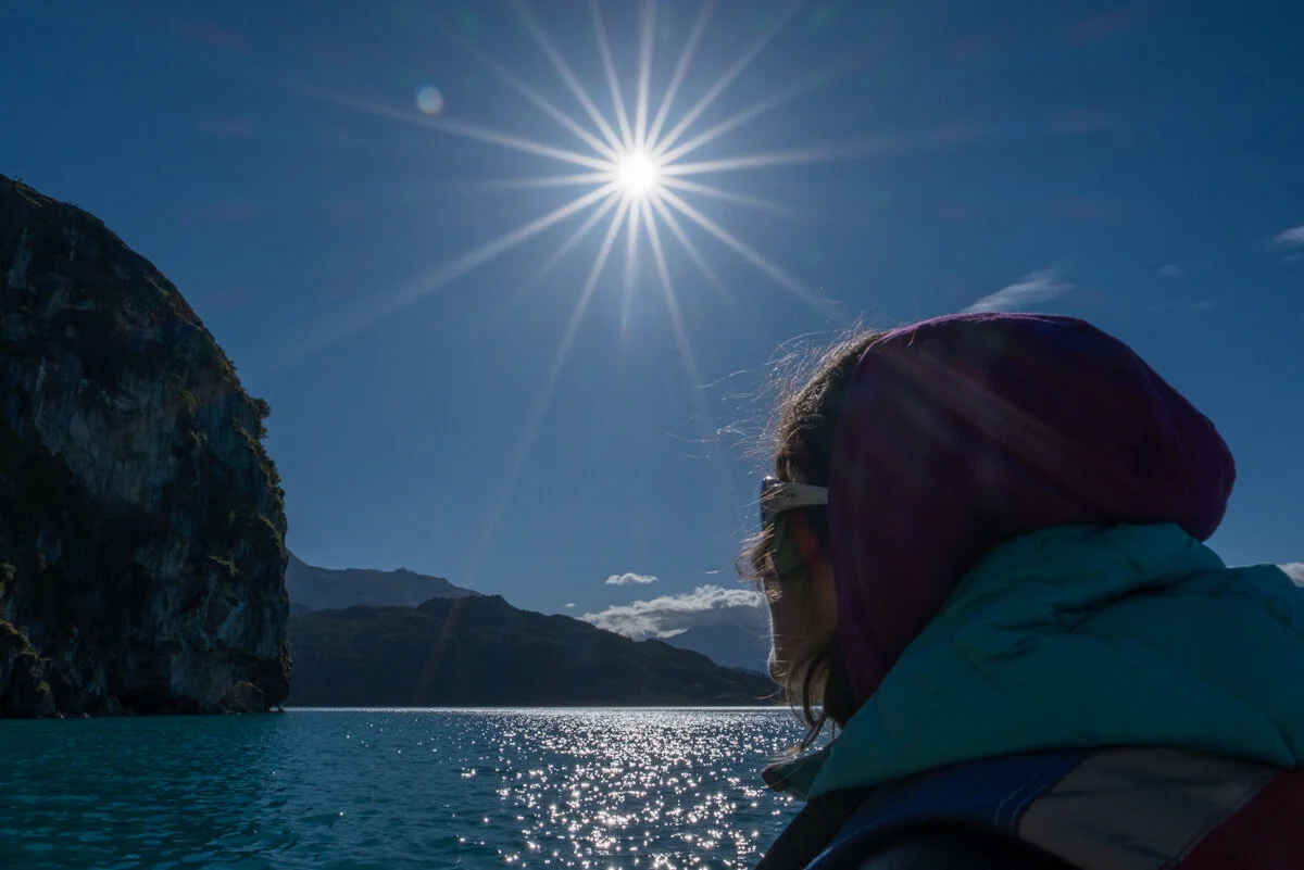
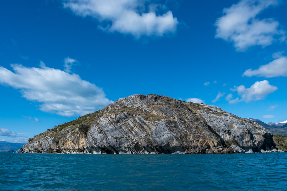
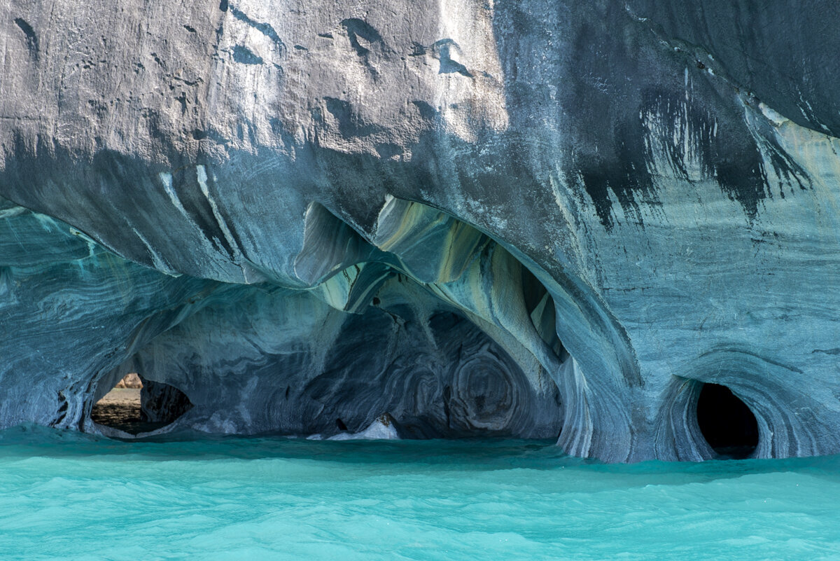
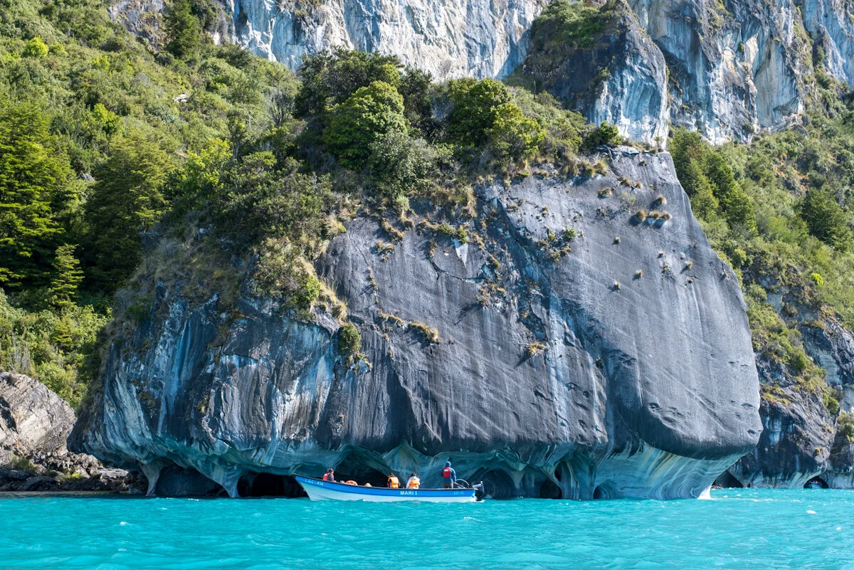
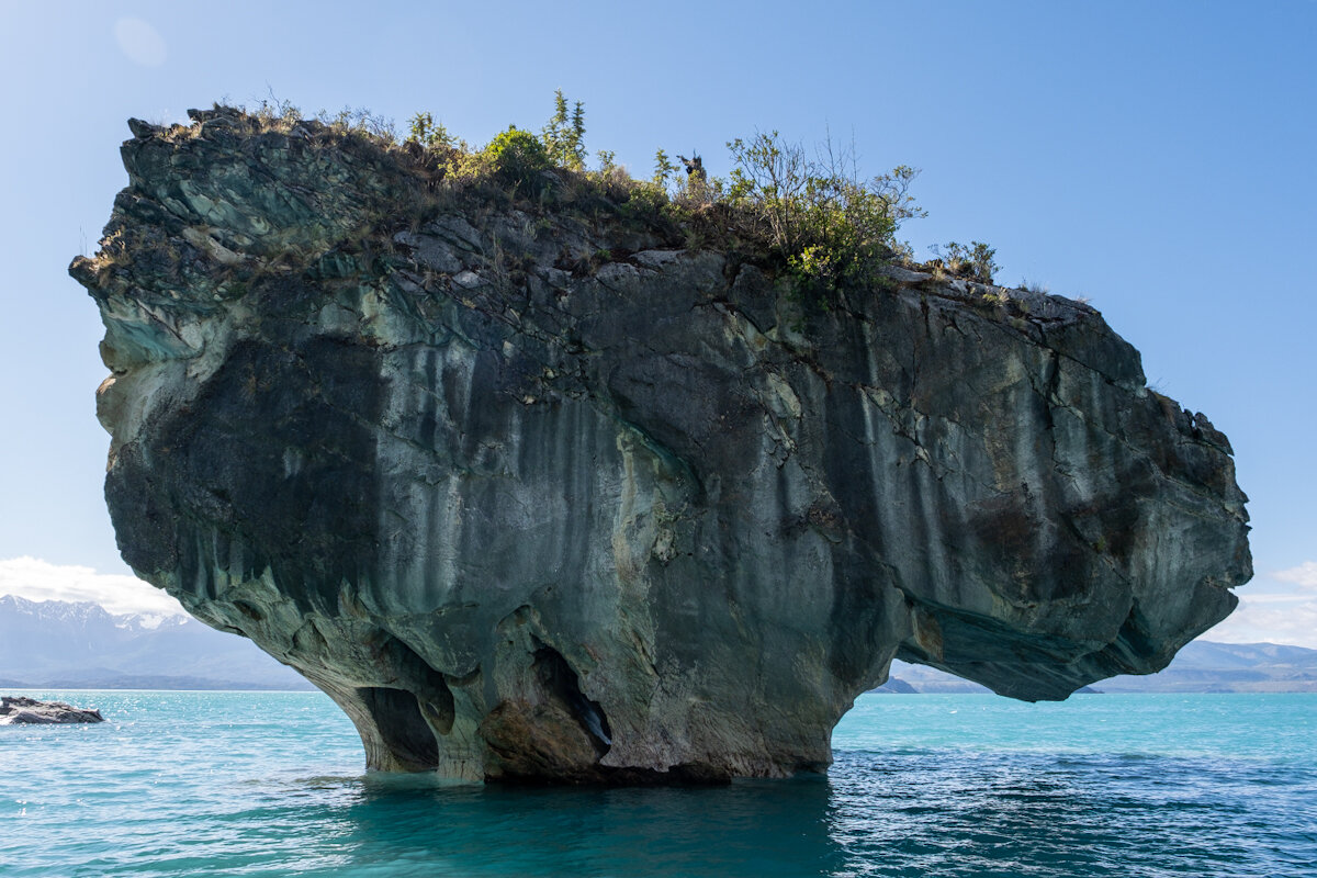
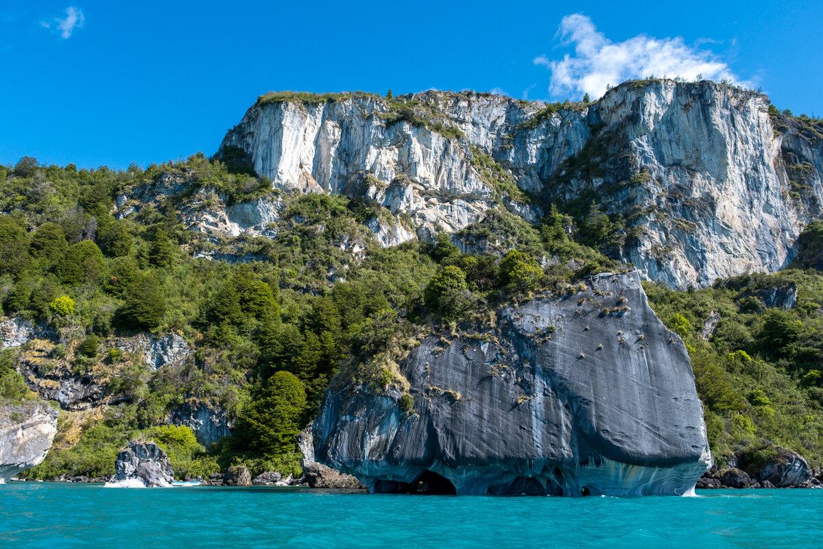
Geological happenstance in the area of Puerto Rio Tranquilo has formed a series of caves and top heavy islands along a section of the shores of Lago Gral Carerra. Rocks desolving and eroding at different rates has left marble-like patterns and structures; strange, irregular honeycombs. Adding the reflections from the crystal clear water of the lake makes it pretty magical.
The Baker Confluence
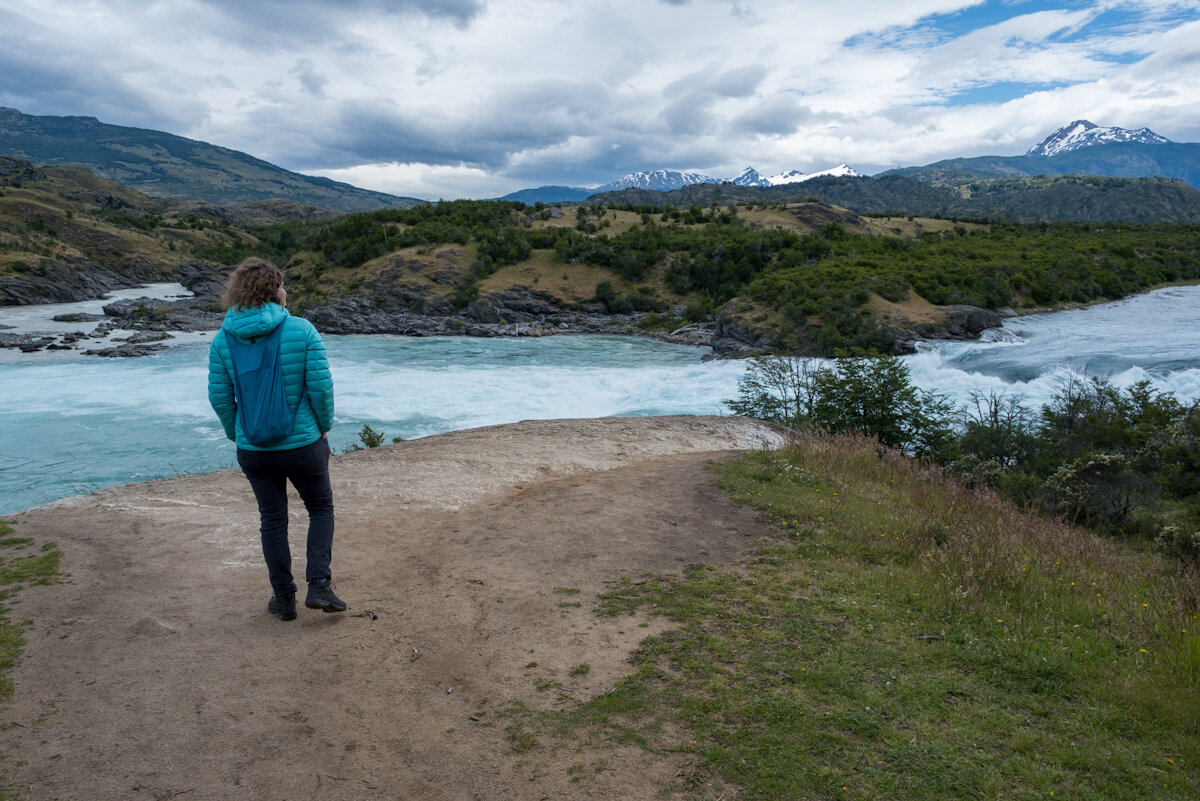
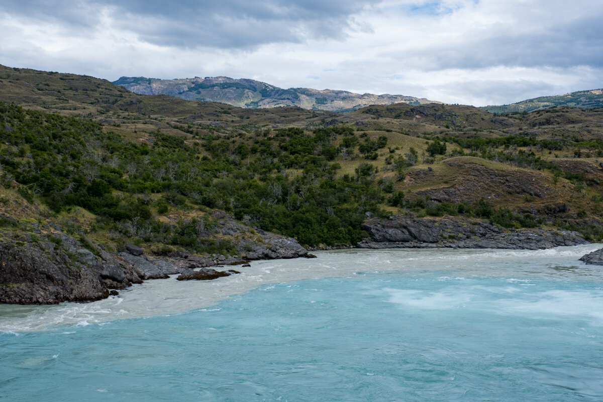
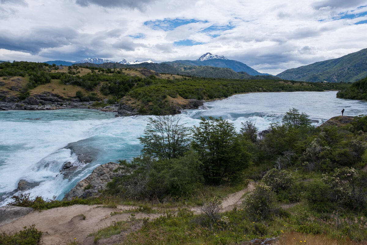
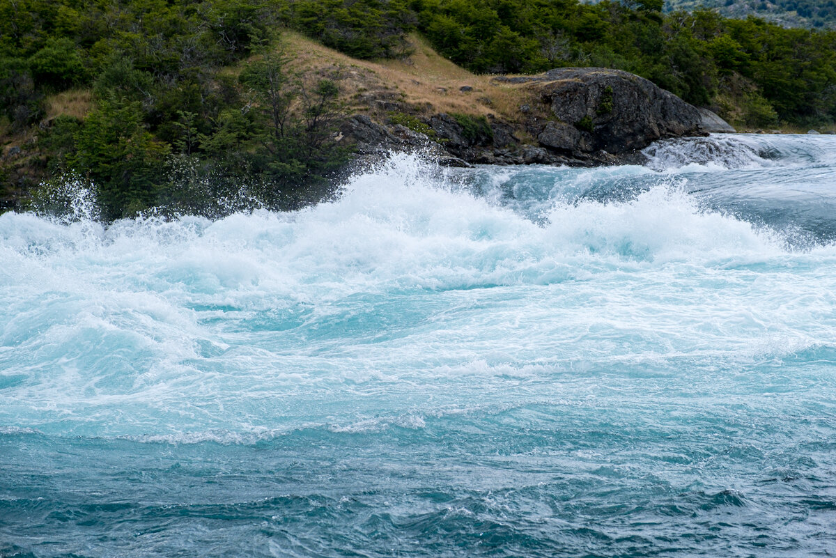
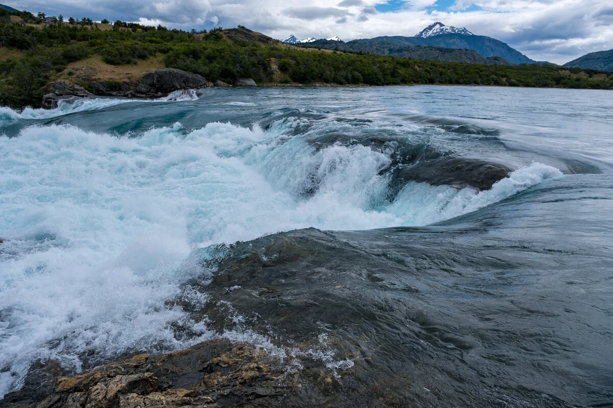
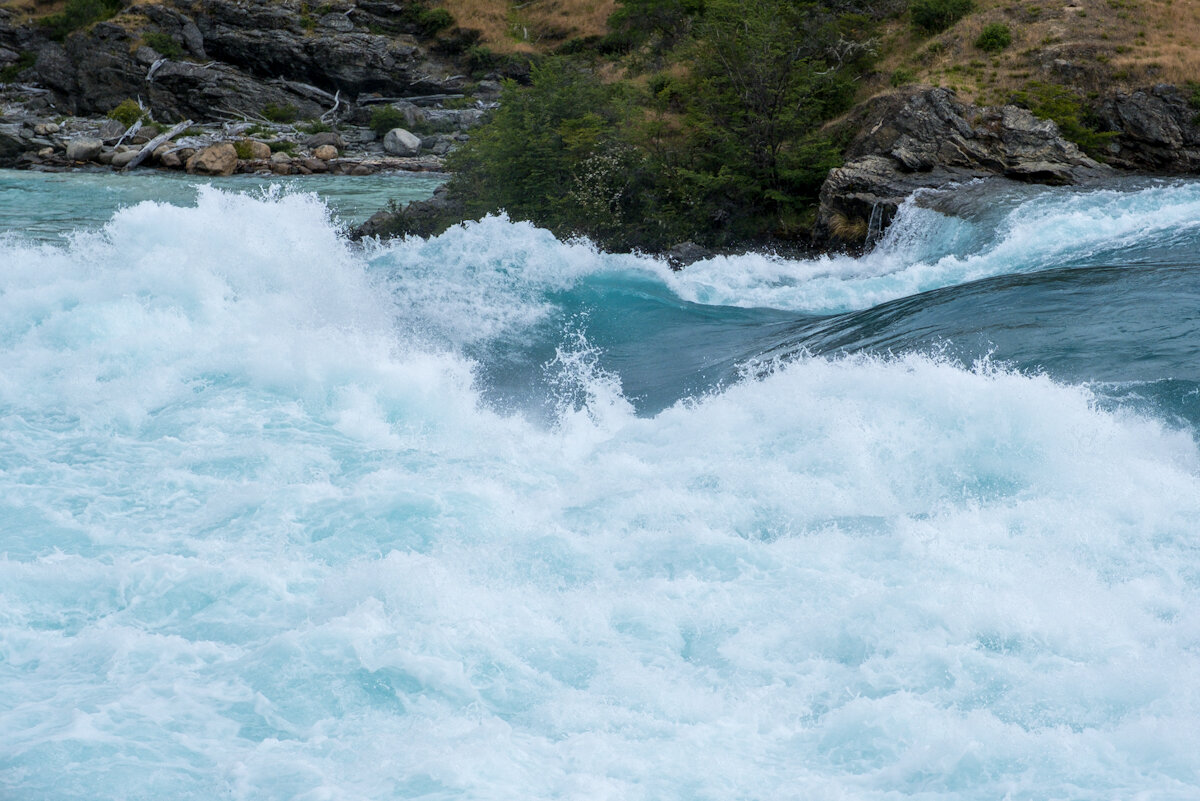
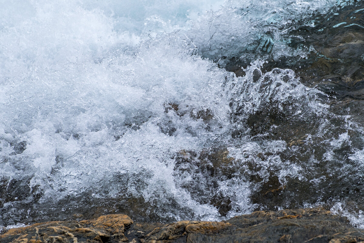
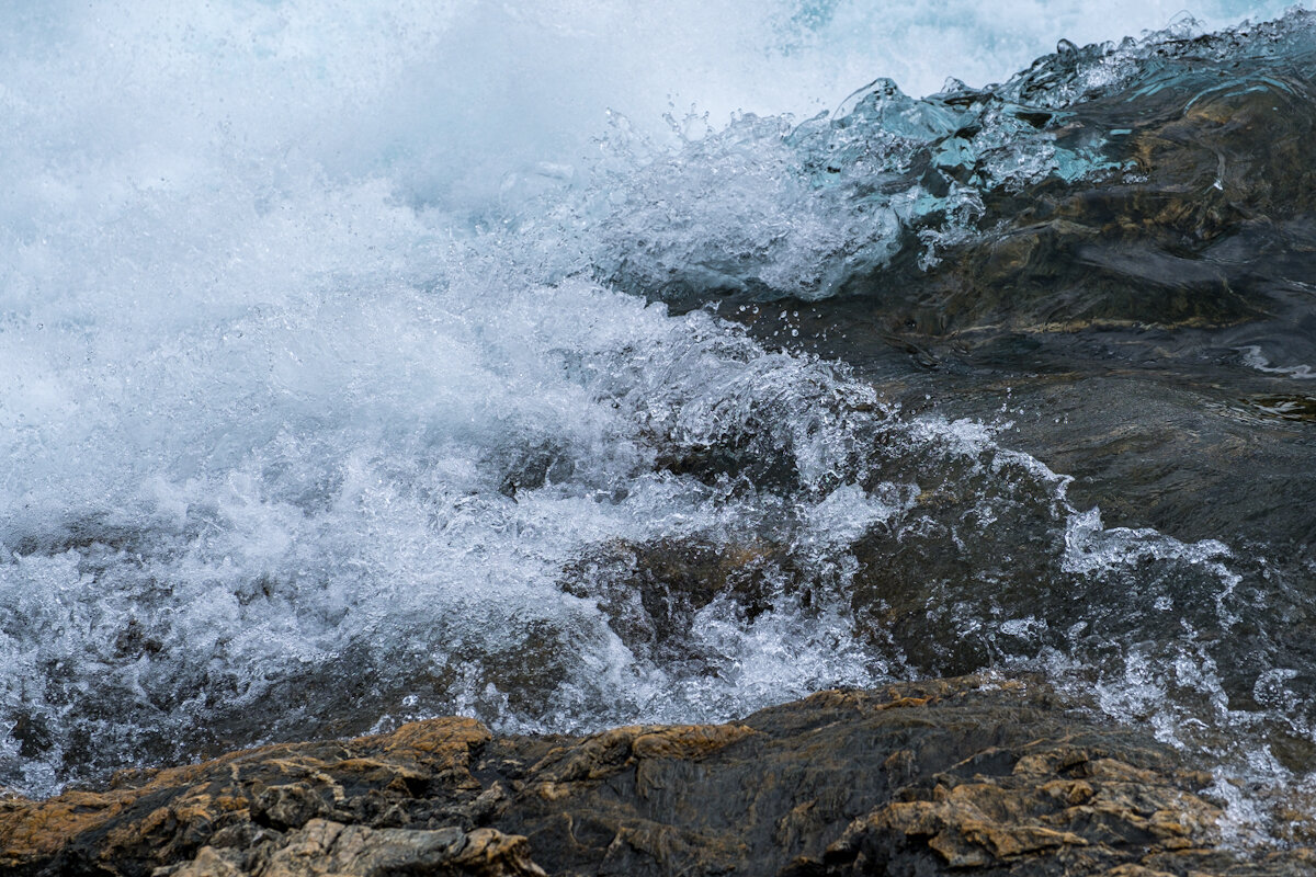
Next day we set off south again, picked up our second lot of hitchhikers (two lads from Concepcion further north) and headed towards Cochrane and our next major stop, Parc Nacional Patagonia and the Chucabuco Valley. On the way we stopped off at the Baker confluence where the Rio Neff joins the Rio Cochrane. The Neff is heavy brown with sediment while the Cochrane is more glacial blue so there is a swirling mix of colours plus rapids to boot.
